OUR BEACHES...
Villammare-Vibonati
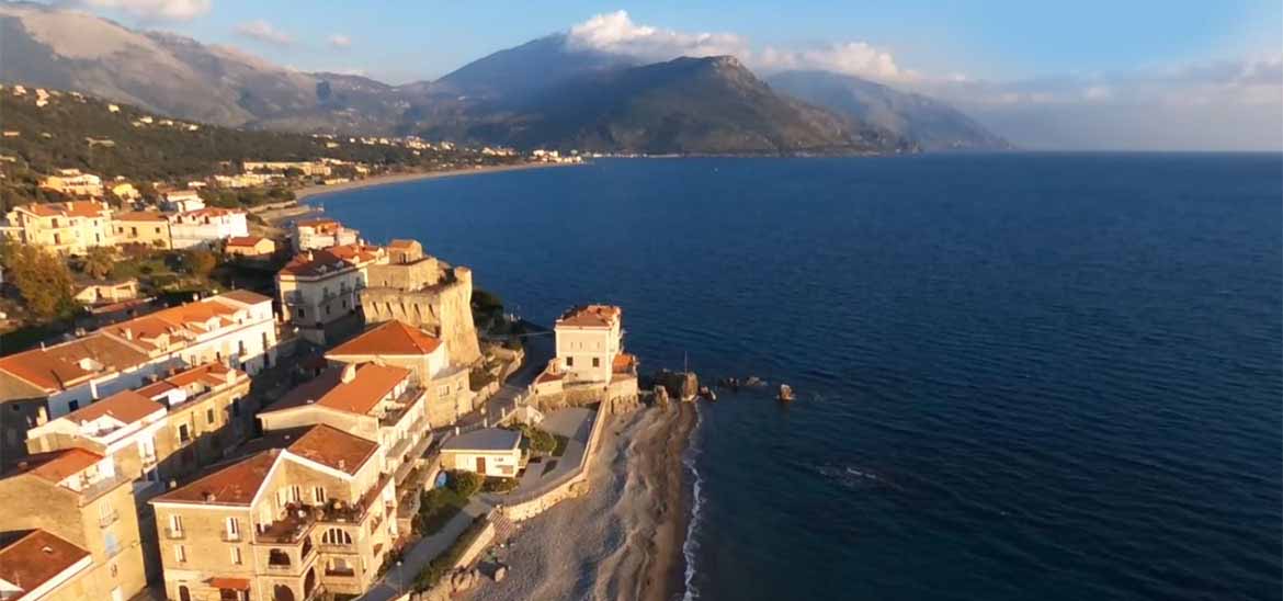
Villammare
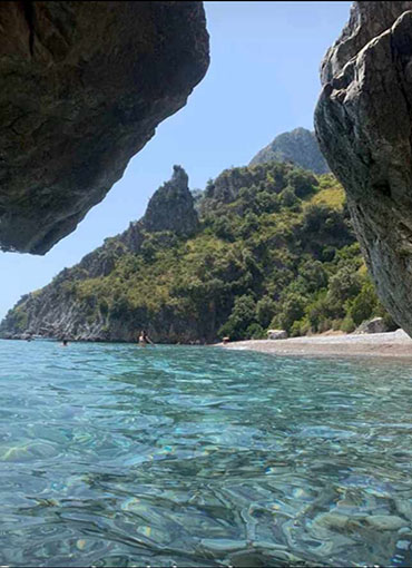
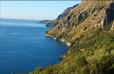
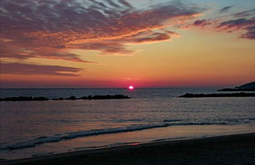
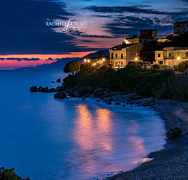
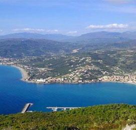
Villamare is located on the Thyirrenian coast in the centre of the Gulf of Policastro. It is about 3 km from Sapri, 8km from Policastro, 15km from Scario and 3km from Vibonati. Close to Villammare there is another seaside town, Capitello, hamlet of Ispani.
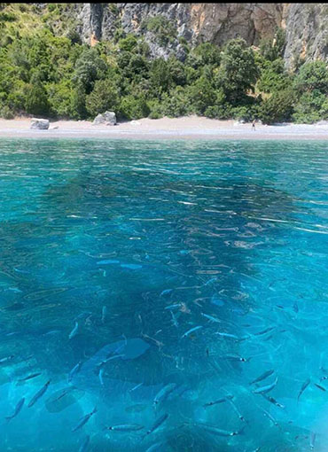
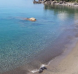
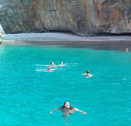
The beach is considered the pearl of the whole Gulf of Policastro. It is frequented throughout the summer by many tourists from all over Italy. In this coast there is a large representation of the Mediterranean dune and especially on the coast Oliveto vegetates the Pancratium Maritimum called “Giglio di Mare”. The plants present in the coast of Villammare have peculiarities related to the temperate climate, characterized by hot, mild and long summers and mild winters , with some rain. Such climatic conditions favour the life of always green shrubby and arboreal species.
For these qualities and for the clean sea, Villammare has been awarded the Blue Flag for several years.
The entire coastal dune of the Gulf of Policastro and in particular of Villammare represents a natural environment of great beauty and plays an important role for the ecosystem that includes it. It constitutes a natural reserve of sediment for the beach and slows its erosion, ensuring the spontaneous vegetation that populates it.
Vibonati
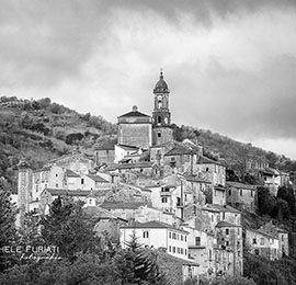
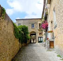
Vibonati (Livunàti in the southern Cilento dialect) is an Italian municipality of 3293 inhabitants in the province of Salerno in Campania. The municipality is part of the Association "Borghi Autentici d'Italia" ( authentic vilages of Italy).
Sapri
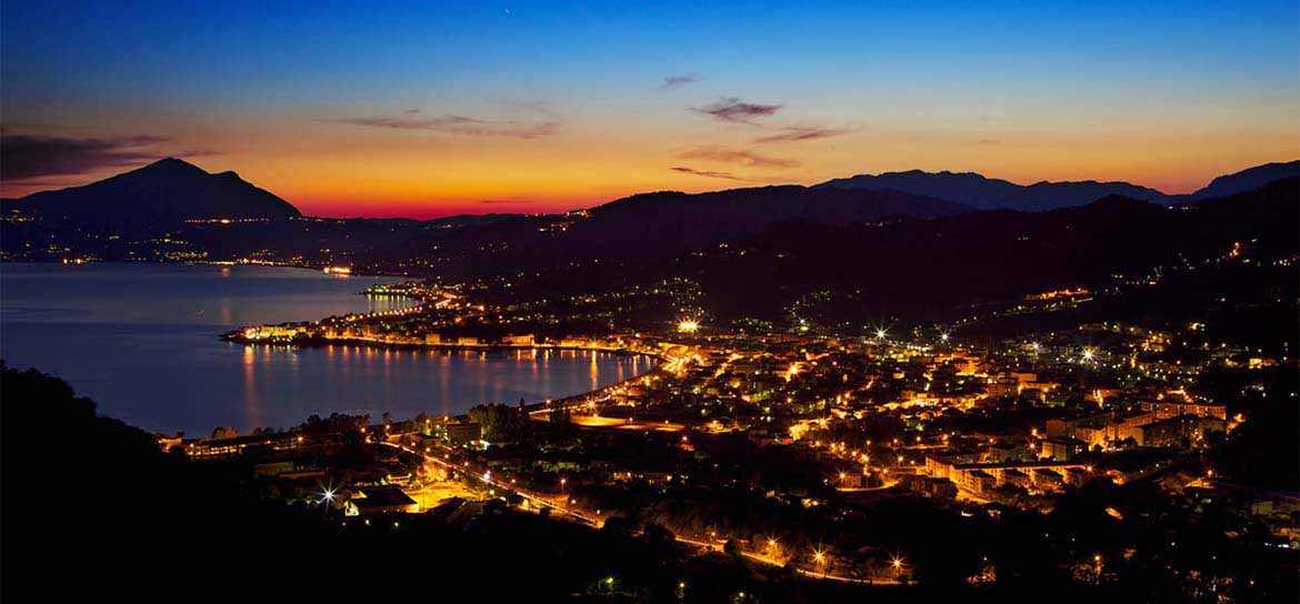
SAPRI, the town of the Gleaner
The city of Sapri has very ancient origins and is considered the heart of the Gulf of Policastro, once called "Sinus Vibonensis" (from the Naturalis Historia of Pliny the Elder) or “Sinus Laus” (from Laos, polis of the “Magna Grecia” situated, however, to Santa Maria al Cedro, beyond the Gulf of Policastro). In Roman times the bay and its hinterland were held in high esteem; visited by Cicero who called it 'seemed gem maris inferi" (small gem of the South Sea). Sapri is known above all for the tragic Expedition of Carlo Pisacane of 28 June 1857, remembered in verses by the famous poem the “Gleaner of Sapri” from Luigi Mercantini.
The Pisacane Expedition, organized in Genoa by the same, by Mazzini and other patriots, had to, in the Mazzinian project, encourage the outbreak in Naples and Salerno, followed by Sicily, the antiborbonic revolution, as part of the struggle for Italian unity, organized by the Insurrectional Committee chaired by the Neapolitan 25-year-old Giuseppe Fanelli, also to avoid probable actions of the Murattian party also antiborbonic, but determined to establish a pro-French southern kingdom.
At the same time the fortresses in Genoa and Livorno would be assaulted in order to collect the deposits of arms and ammunition to be delivered to the southern rebels: the Pisacane expedition failed, as the contemporary actions of Genoa and Livorno also because the Neapolitans and Salerno were not sufficiently prepared for immediate action; however, it served to avoid the hypothetical establishment of a Murattian Kingdom in southern Italy and opened the way for the Expedition of the Thousand. The tragic enterprise is commemorated by an obelisk erected in the first centenary located off the coast of the fourteenth century, by a statue of Pisacane dating from the first half of the last century in the municipal villa and a bronze depiction representing the "Spigolatrice" It lies on the rock of Scialandro, ideally stretched towards the bay of Sapri where the three hundred landed. Every summer, the expedition is remembered by a costume re-enactment of the landing.
San Giovanni a Piro - Scario
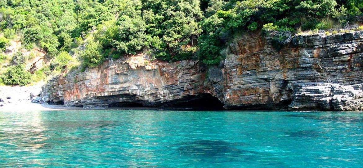
San Giovanni a Piro - Scario
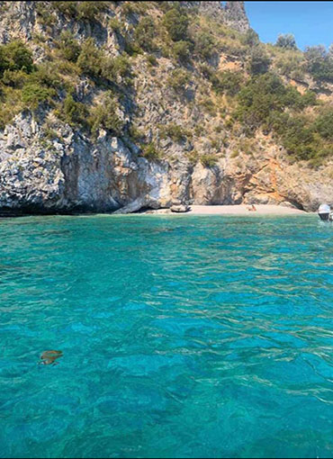
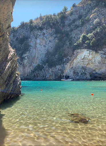
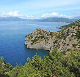
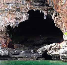
The history of Scario probably begins around the year 1000 BC, with the arrival of Italic populations that populated these lands for five centuries until the arrival of the Greeks in 471 BC, followed by the Romans three centuries later. During the barbarian invasions of the first half of the sixth century with the Byzantine rule that brought a long period of serenity that lasted until the early ninth century, when the incursions of the Saracens began to scourge the coasts of the Cilento. In 915, landed in the port of Olivo, the pirates plundered Scario, putting to flight the inhabitants. In the following centuries the fishing village recovered, until in 1534 and 1552 the Turkish pirate Khair-ad-Din Barbarossa and his successor Dragut Rais Bassà plundered and devastated it, leaving it deserted for more than a century. Thanks to the love for the territory of some fishermen, supported by the Counts Carafa of the nearby Policastro, Scario began to rise. On the origin of the name there are several hypotheses, the most reliable is that the name comes from the Greek Skariòs (small shipyard). The coast from Scario to Marina di Camerota is dotted with karst caves, coves reachable only from the sea and Saracen watch towers. In addition, the waters of this part of the gulf are very clear and rich in marine flora and fauna, probably because of the karst nature of the rocks and the consequent presence of underwater springs of fresh water and at lower temperature.
Morigerati
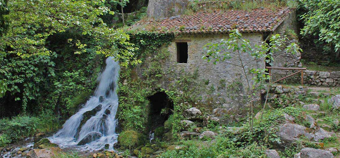
Morigerati
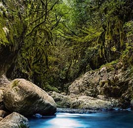
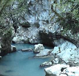
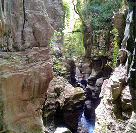
The municipality of Morigerati and its hamlet Sicilì are located in a hilly area in the Cilento, about ten km from the coast of the Gulf of Policastro. The municipality is known for the oases of the WWF, where there is the resurgence of the river Bussento near the caves of the oasis; there is also the wonderful area of the river Bussento, in the hamlet of Sicilì, where you can stop immersed in nature and tranquility of the river environment. The name Morigerati derives either from the Greek word muriké (broom) or from murgia, toponym indicating a hill or a ledge. According to legend, Morigerati was founded by the Italian people of Morgeti. The village is situated in the same place where the fortified village was located. It was later colonized by the Romans, as evidenced by the ruins found in Rumanuru.
Casaletto Spartano
Casaletto Spartano
Of medieval origin the village, according to a local legend, developed around the ancient district "Spartoso", which could derive the name Spartan. The abandonment of the old nucleus, according to this old legend, was caused by an invasion of ants. Much more likely, the first nucleus of the village rose at the foot of Mount Defense because the place was rich in water, being present in the area numerous springs and a small river. The first document that can give a historical location to the village is a small stone plaque with Latin writing currently placed at the entrance of the left side aisle of the mother church of San Nicola, which recalls the consecration of the church, bearing the date of 1177. Il toponimo "Casaletto" deriva, come si può facilmente dedurre, da "casale". Infatti Casalecti, nel medioevo, era, insieme a Bactalearum (Battaglia) un casale delle terre di Tortorella. In 1562 the hamlets of Casaletto and Battaglia were sold by Trojano Spinelli, marquis of Mesoraca, prince of Scalea and lord of the lands of Tortorella, to baron D. Giovanni Antonio Gallotti and then detached from the original fief. In 1656 the country was, like all southern Italy, hit by the plague, which reduced the population to less than half. The unification of the Communes of Casaletto and Battaglia occurred in 1810, by order of the French general Charles Antoine Manhès. He was commissioned by the king of Naples, Gioacchino Murat, to solve the problem of the city of Sapri has very ancient origins and is considered the heart of the Gulf of Policastro, once called "Sinus Vibonensis" (from the Naturalis Historia of Pliny the Elder) or “Sinus Laus" (from Laos, polis of the Magna Grecia situated, however, to Santa Maria al Cedro, beyond the Gulf of Policastro). In Roman times the bay and its hinterland were held in great consideration; visited by Cicero who called it 'seemed gem maris inferi" (small gem of the South Sea), brigandage (pro-bourbon) in the Kingdom of the Two Sicilies. Arrived in the gulf of Policastro sent orders to the mayor of Casaletto to prepare fodder and provisions for his army. The mayor, however, deliberately or for lack of means, did not provide to meet the demands of the general who, arrived in the country and suspected the mayor of being in league with the brigands pro-bourbon, had him shot in the place called "the stones of the Camp", ordering the reunification of the municipalities of Casaletto and Battaglia and requiring the mayor of Battaglia to move to Casaletto, which was elected as chief town. The term "Spartan" was added to "Casaletto" only after the unification of Italy. It comes from "sparto", a plant of the Mediterranean areas, present almost everywhere in the territory casalettano.
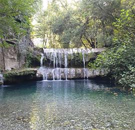
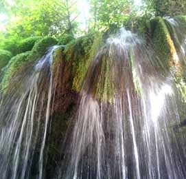
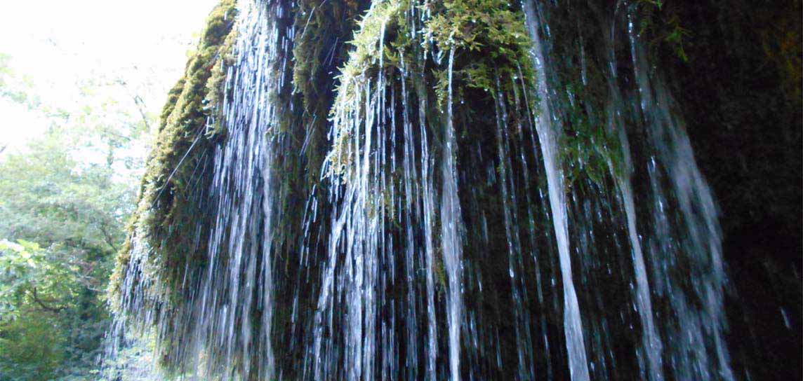
Today Casaletto Spartano consists of the two main towns that are the nearby hamlet Battaglia and the capital, plus a series of rural districts, about thirty, scattered throughout the territory that has a total area of over 70.17 km². Casaletto Spartano and Battaglia are divided by the Rio di Casaletto watercourse and connected with each other by some paths. The most representative place of Casaletto, is without a doubt “Il Capello”. The town takes its name from the waterfall "Hair of Venus" whose name comes from the lush growth of the plant Capelvenere.
The Waterfalls of the hair of Venus
Among the many beauties of nature that Cilento gives must be counted the waterfalls of the Hair of Venus of Casaletto Spartano. The waterfalls of Venus are among the most beautiful waterfalls in Campania and are visited from all over Italy. The most famous waterfall of the Cilento we find, therefore, inside the Oasi Capello. The Hair of Venus waterfall is formed by the tributary of the river Bussento, the Bussentino.
The Hair of Venus is a spectacle of nature that has seen the union of 3 elements, the water of Bussentino flows over the plant Capelvenere that lives attached to the rock.
The waterfall of the water from the Hair has created natural pools in the river bed where you can also swim. A bath in the freezing water considering the glacial temperature of the water even in the middle of August.
Roccagloriosa
Roccagloriosa
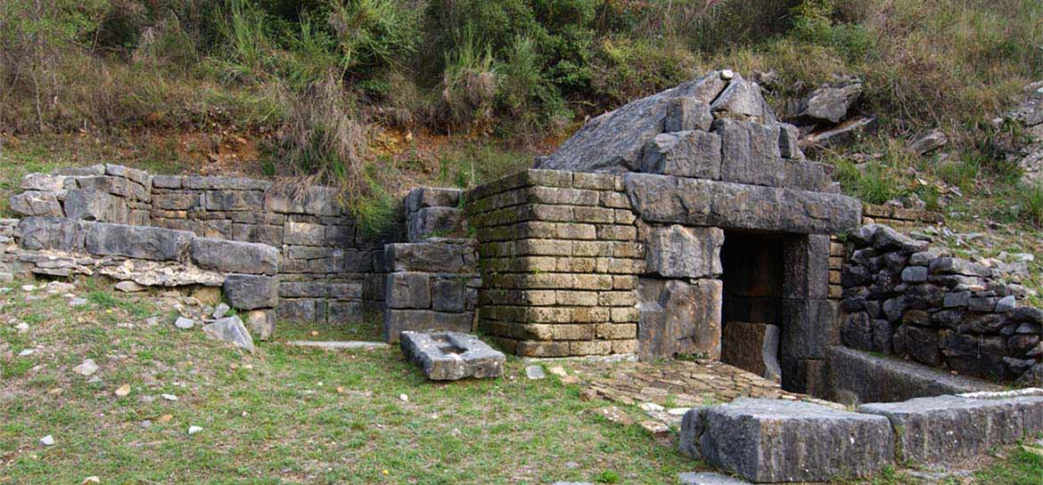
Small village of Cilento, it is set in a valley formed by the Mingardo and Bussento rivers, close to Mount Bulgheria. With its small hamlet of Acquavena, it is included in the territory of the national park of Cilento and Vallo di Diano, declared a UNESCO World Heritage Site in 1998. the popular tradition wants that the name of Roccagloriosa is the compound of the Latin Rocca,-ae and Gloriosa. The first term indicates the strategic location of the country, for centuries a stronghold, the second emphasizes the veneration for the glorious Mary of Nazareth, mother of God. On the hill called 'Le Chiaie" were found finds dating back to the Bronze Age. The most important evidence dates back to the Iron Age (8th-6th centuries BC), where a seasonal settlement developed in the area. Starting from the fifth century B.C. a town developed, formed by houses with an elongated rectangular plan, laid on a stone base. From the IV to the III century B.C. it constitutes a defensive perimeter of the town, that is a wall built with blocks of limestone, which leaves the necropolis outside. Inside the fortified town the houses are arranged in rectangular blocks. On a bronze fragment of table found during the archaeological excavations, dating back to the IV-III century BC, was found a statute concerning the civil institutional order of the ancient town, thus witnessing a remarkable complexity of the civil and administrative life of the people of Lucania. In the first century BC, the survivors of the destruction of Orbitania, erected a new settlement, not far from the first, on a rock ridge called Armo. The settlement was called Patrìzia, today’s Rocchetta, a town that lived until the fourth century A.D. At the end of the fourth century, General Stilicone landed with his soldiers in the Gulf of Policastro, found the area suitable for the encampment of his troops. These gave themselves to the looting and destruction of the neighboring villages, and the inhabitants of Patrizia were forced to merge with the original nucleus: from this union a new settlement was born, around a small church of 412 dedicated to the Madonna, area still called Rocca. In the sixth century, following the Bulgarian invasions, a castle was built at the Rocca, and the villages of Aquavena, Celle Bulgheria and Rocchetta were formed. In 590 it was conquered by the Lombards, who enlarged the castle. In the thirteenth century this was one of the castra exempia of Frederick II of Swabia, and he reserved the custody directly to the ruling caste. In modern times, the castle was sacked by Napoleonic troops on 3 August 1806. This was set on fire and devastated, only to be demolished in the 1950s. Roccagloriosa is very visited by tourists for its Archaeological Park.
Padula
Padula
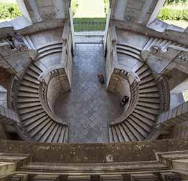
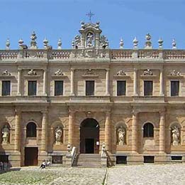
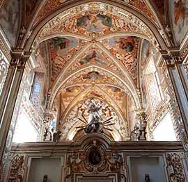
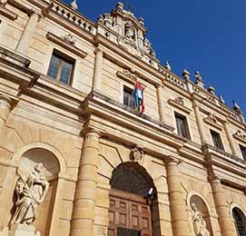
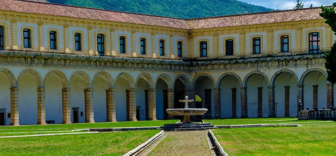
Padula, the city of the Certosa di San Lorenzo.
The birth dates back to the IX-X century when the population, after the wrecking fury of the Saracens ceased, preferred to settle on the lower hill and closer to the connections of the consular road, where Padula still stands. The historical information available confirms the existence of Padula after the year one thousand, sometimes also referring to a settlement in the mountains such as that of Mandrano. The Basilian monks were certainly no strangers to the birth of Padula, as the church of San Nicola alle Donne and the ruins of the ancient Monastery of San Nicola al Torone testify. In 1296 Tommaso II Sanseverino came into possession of Padula. His attention was then drawn to the site where the Grancia di San Lorenzo of the Abbot of Montevergine stood. In 1305 he obtained, by exchange with Abbot Guglielmo, all the goods of the Grancia and donated them to the Carthusians of San Brunone. With the deed stipulated on January 28, 1306, the first nucleus of the Charterhouse began to rise, which over the centuries assumed the grandiose dimensions that can still be observed today. In the Risorgimento period, although the mother of many liberal spirits, she experienced the tragic end of the three hundred followers of Carlo Pisacane.
The Certosa is one of the largest monasteries in the world and among those of greatest interest in Europe for architectural importance.
Paestum
Paestum e il suo Parco Archeologico
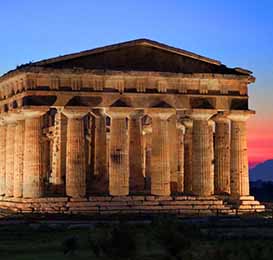
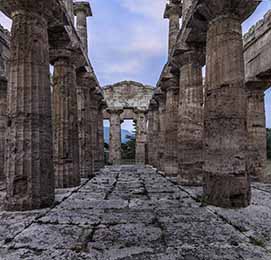
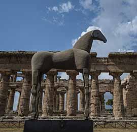
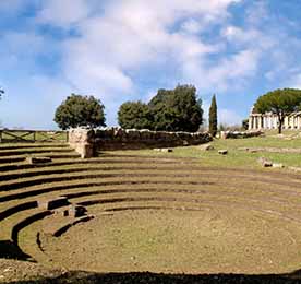
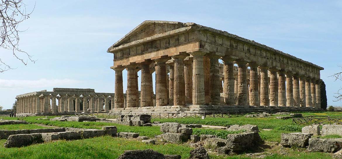
The Temples of Paestum are among the most important archaeological finds found by ancient Magna Grecia. Thanks to an optimal structural condition of the Temples of Paestum make them among the most appreciated monuments of the Greek civilization. The Temples are among the main attractions of the Archaeological Park of Paestum and make it one of the most important archaeological sites of Magna Grecia. The Archaeological Park of Paestum is very large and is surrounded by a wall still present with a polygonal perimeter of almost 5 km. Within the ancient city of Paestum, also called Poseidonia, there is a route along which you can visit some of the most important monuments of Magna Grecia. Here we find three temples, an amphitheatre, a forum with comitium, but also sanctuaries and necropolis, where it was found one of the most famous graves in the world, the Tomb of the Diver. The name Paestum was actually given only in Roman times, the Greeks had called the city Poseidonia, in honor of the sea god Poseidon.
CILENTO
CILENTO, DISCOVERING THE CILENTO NATIONAL PARK, VALLO DI DIANO AND ALBURNI
Cilento is a fascinating land rich in culture, nature, history and beautiful beaches. But also small medieval villages that overlook the sea or the interior areas little known but rich in artistic, natural and architectural heritage. Cilento is a mountainous subregion of southern Campania, in the province of Salerno, part of the National Park of Cilento, Vallo di Diano and Alburni. The Cilento Park, in 1998 was declared a UNESCO World Heritage Site.
TREKKING
TREKKING - THE PATH OF THE MOUNTAINS AND THE COAST OF MASSETA
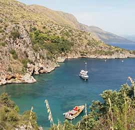
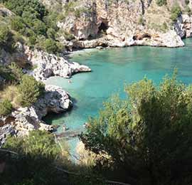
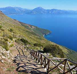
The path of the Infreschi and the Costa della Masseta is a must for those who love trekking, nature and the Cilento. The path of the Infreschi and the Costa della Masseta allows you to reach 3 of the most beautiful coves of the Cilento, already winners of the most beautiful beach award of Italy Legambiente and Turing Club. We talk about the beach of Pozzallo, the beach of Cala Bianca and the Bay of Infreschi. The entire coast of Masseta and Baia degli Infreschi are a marine protected area of the National Park of Cilento, Vallo di Diano and Alburni.The path of Masseta and Infreschi is about 10 km long between return. The path does not present great difficulties and is suitable for those who love walking in nature and trekking.
Elea-Velia
Ruins of Velia , Archaelogical park of Velia-Elea
The Archaeological Park of Elea-Velia, also known as Scavi di Velia, is one of the most important cultural attractions of the Cilento. Unknown as they deserve, the archaeological excavations of Velia represent one of the main testimonies of the Greek settlements in Magna Grecia. Home of the Eleatic philosophy school, with Parmenides and his two disciples Zeno and Melisso of Samos.
